|
|
|
|
|
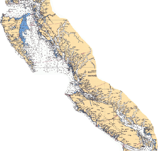
The Site Maps for the areas shown below can be printed from our Library to provide you with a guide for cruising these sites. As I catalogue our pictures and re-do some for this purpose, I will add them to this presentation. To see them you need only slide the mouse over the coast chart below and if a chartlet opens up, click the mouse. As we identify more sites, more chartlets will be added. On the next page you can slide the mouse over the red X's to see the actual sites. By clicking on "What's New to This Site", you will see my log of updates.
With the use of digital photography, GPS positioning and electronic charting, we will re-visit many of these sites and add that quality to this web page.